
The new Google Maps feature is currently available for Android devices but has not yet had time to update on iOS.
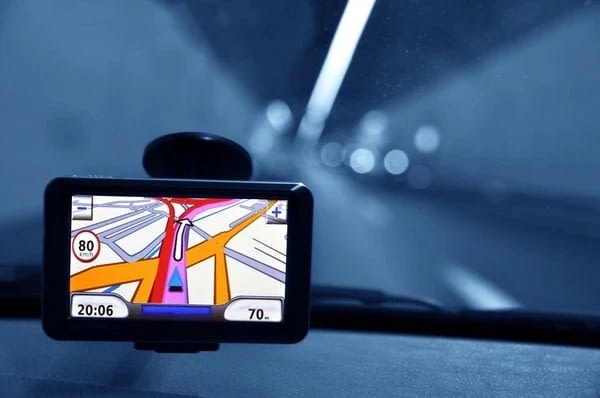
positioning GPS on the ground is now common and accurate, but when vehicles move in road tunnels, this signal is no longer reliable. Recently, Google Maps on Android has just added the ability to locate and navigate underground spaces using Bluetooth beacons.
Waze, another mapping app acquired by Google in 2013, has had a similar location feature for quite some time. Bluetooth beacons enhance tunnel positioning accuracy by using Bluetooth signals to scan and determine location, similar to the technology used in some shopping malls in many cities across the world.
On Google Maps, the tunnel positioning feature using Bluetooth beacons is turned off by default, but users can actively turn it on in the Driving Options section in Settings > Navigation Settings (Navigation Settings). The system describes the feature as “scanning Bluetooth beacons to improve location accuracy in tunnel environments.” Users will need to grant Google Maps permission for the application to automatically find and connect with surrounding devices for the positioning process.
Some users said they had experienced the new feature since October 2023, but it was not announced and released globally by Google until mid-January 2024. However, currently, only Android users can use it, while iPhone owners will have to wait longer.
In addition to Bluetooth positioning, Google’s map service also recently upgraded several new features, including suggested charging points for electric vehicles.